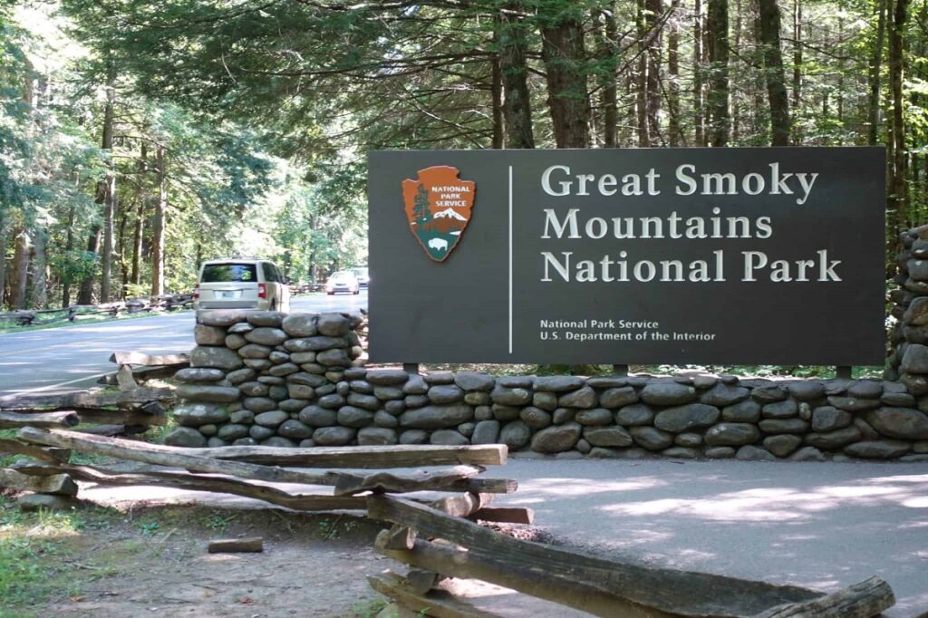
Sprawling 522,427 acres along the border of North Carolina and Tennessee, the Great Smoky Mountains National Park is every hiker’s paradise. With over 800 miles of well-maintained trails, this UNESCO World Heritage site is renowned for its pristine natural beauty, diverse wildlife, and rich cultural history.
If you’re an outdoor enthusiast or simply seeking a break from the hustle and bustle of daily life, the Great Smoky Mountains National Park offers many hiking trails that cater to hikers of all skill levels. In this article, we will take you through some of the park’s best hiking trails, each offering a unique experience of this breathtaking wilderness.
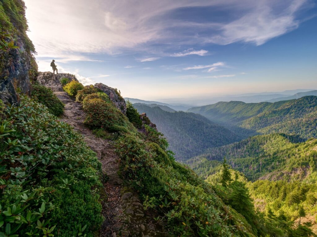
Alum Cave to Mount LeConte
Distance: 11 miles
Elevation gain: 2,763ft
Difficulty: Hard
Time to complete: 6-9 hours
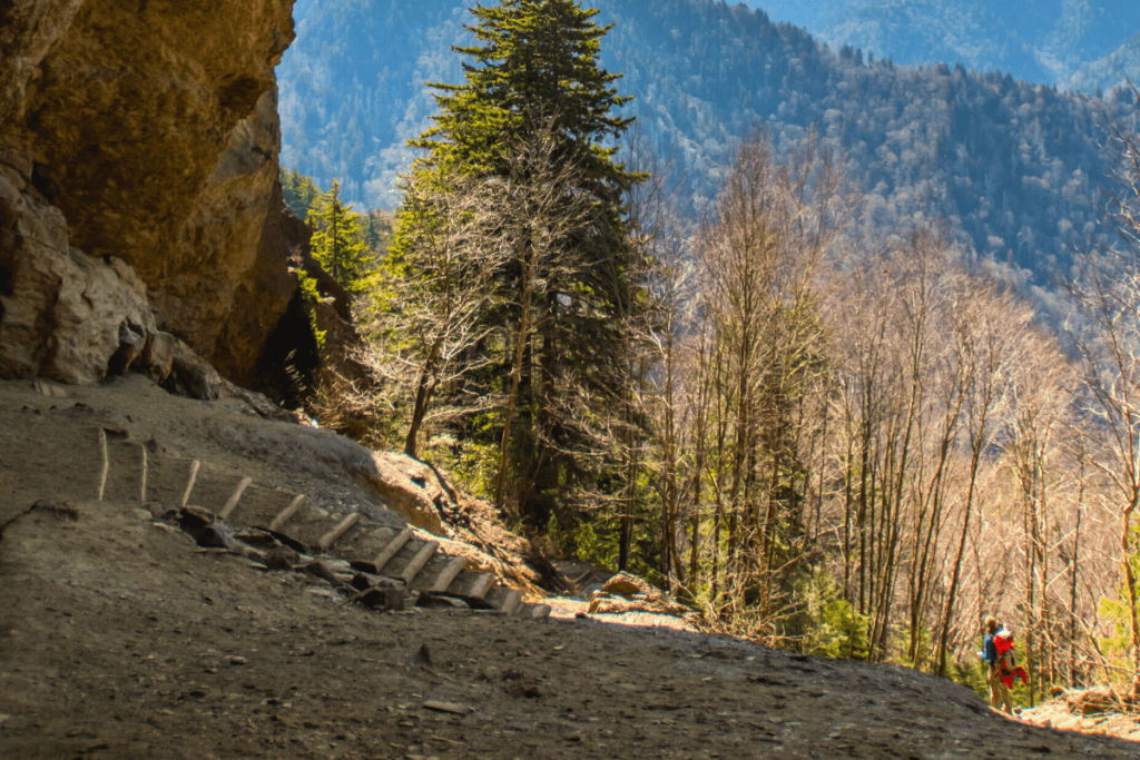
Among the splendid hiking options in Great Smoky Mountains National Park, this trail is a revered choice for many enthusiasts. It embodies the quintessential Smoky Mountain experience, offering a delightful blend of features that every hiker seeks.
While here, you will be enchanted by the allure of crystal-clear creekside pathways, dense forests teeming with life, vibrant rhododendron blooms, breathtaking vistas, exhilarating cliffside treks, and captivating rock formations.
The pinnacle of this challenging journey rewards you with an awe-inspiring view from the summit of Mount LeConte, towering at 6,593 feet. The vistas extend far and wide, encompassing the stunning expanse of the surrounding park. For an even more immersive experience, consider visiting or spending a night at the renowned LeConte Lodge.
This trail caters to more experienced and physically fit hikers, as it offers a formidable challenge. Nevertheless, the exhilaration and natural beauty it provides make it an undisputed gem within the Smoky Mountains National Park.
Mount Cammerer
Distance: 11.2 miles
Elevation gain: 3,045ft
Difficulty: Hard
Time to complete: 6.5 hours
The trail leading to the summit of Mount Cammerer starts at the Low Gap Trailhead in the Cosby region of the park. This is an arduous and demanding roundtrip hike of 11 miles, involving an elevation gain exceeding 3,000 feet.
While the trails leading to the summit are well-maintained, all the route options are relatively long and feature a substantial vertical climb, making it a challenge even for seasoned hikers. In essence, this hike is not recommended for beginners.
The most popular route to the summit, the 12-mile out-and-back Low Gap route originating from the National Parks Cosby Campground, is the path I would follow. The initial leg of the ascent is particularly demanding as you trace the Low Gap Trail for 2.9 miles, covering a vertical climb of 2,000 feet to reach the Appalachian Trail at the crest of the main ridge.
Beyond this point, the route becomes more forgiving, although there are still undulating sections as you proceed eastward along the ridge, ensuring you remain actively engaged. Slightly over two miles from Low Gap, a marked spur trail guides you to the summit tower for the final 0.6 miles.
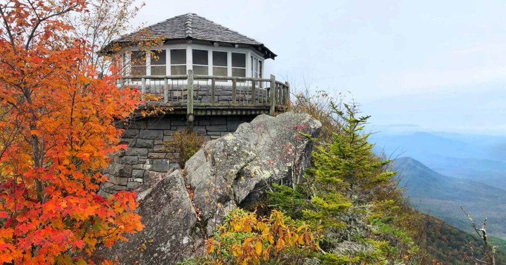
As previously mentioned, the summit is spectacular, featuring a man-made structure known as the fire tower. This tower, constructed in 1937 by the Civilian Conservation Corps (CCC), is distinctively termed ‘Western-style’ as it does not perch atop a tower structure as its counterparts elsewhere in the region do.
The fire tower served as a seasonal fire lookout until the 1960s underwent a period of abandonment spanning three decades, and was restored in the mid-1990s.
Abrams Falls Trail
Distance: 5 miles
Elevation gain: 1,800ft
Difficulty: Moderately challenging
Time to complete: 3 hours
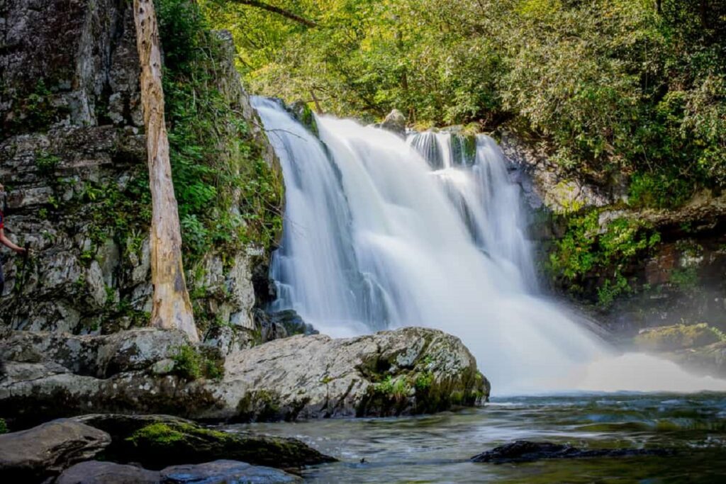
One of the cherished trails within the Great Smoky Mountains National Park leads you to the renowned Abrams Falls. While Abrams Falls may stand at a modest 20 feet in height, it more than compensates with its sheer power. The cascade of water here is a force to be reckoned with despite its relatively small stature.
Your adventure begins at the trailhead, just off the Cades Cove Loop road. The roundtrip hike spans a total of 5 miles and offers moderate difficulty. You’ll most likely follow a picturesque creekside path along the journey to Abrams Falls. The trail gradually ascends, treating you to splendid scenic vistas before descending to the captivating sight of Abrams Falls.
However, the trail is one of the most dangerous hikes in the United States, primarily due to the hazards of Abrams Falls.
Tragically, some individuals disregard the warning signs and attempt to swim in the waters below the falls, oblivious to the swift and powerful currents that have claimed lives in the past. It’s imperative to heed the cautions, as this place of extraordinary beauty should be admired from a distance.
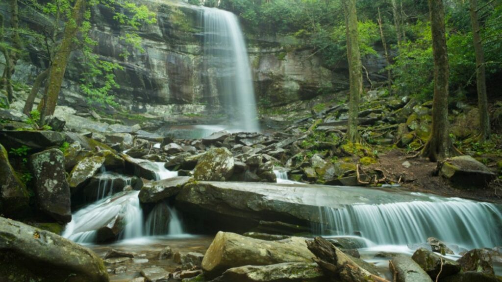
Rainbow Falls Trail
Distance: 5.4 miles
Elevation gain: 1,500ft
Difficulty: Moderately challenging
Time to complete: 3-5 hours
The roundtrip trek to the waterfall covers 5.4 miles and is moderately challenging. However, due to the trail’s length, elevation changes, and intermittent rocky terrain, some hikers might consider it a more demanding endeavor. Plan for a hiking time of about 3 to 5 hours to complete the roundtrip journey.
This trek guides you through the lush woods of Deep Creek, unveiling three captivating waterfalls. Deep Creek offers a variety of loop options, allowing you to tailor the hike to your personal preferences. The trail features three exquisite waterfalls located close to one another.
While Deep Creek maintains its scenic allure throughout the year, it truly shines in autumn. Fall is incredibly captivating, and it is a wonderful time to enjoy this hike.
Also, ensure you have ample drinking water, as portions of this trail can be pretty rugged. Sturdy hiking footwear is highly recommended, and it is strongly discouraged to undertake this trail wearing sandals or flip-flops. Please be aware that pets and bicycles are not permitted on the course.
It’s vital to exercise caution and refrain from scrambling the waterfall’s rocks. Tragically, over time, several individuals have suffered fatal accidents, while many others have sustained severe injuries from attempting such climbs. These rocks tend to be slippery due to mist and algae. Also, remain vigilant if you travel with kids.
Newfound Gap on the Appalachian Trail
Distance: 8 miles
Elevation gain: 1,640ft
Difficulty: Moderately challenging
Time to complete: 4 hours
Newfound Gap is a revered waypoint for travelers cruising along Newfound Gap Road within the Great Smoky Mountains National Park. Newfound Gap is the highest point on the course, boasting a picturesque panorama, historical significance, and convenient restroom facilities.
Also, adjacent to the parking area, you’ll find the legendary Appalachian Trail, a trail many visitors stroll along for a short distance. Yet, for those seeking a more exhilarating adventure, a 4-mile hike (equating to an 8-mile round trip) along this iconic trail leads to a destination known as Charlie’s Bunion.
Perched atop a rock outcropping, Charlie’s Bunion rewards hikers with breathtaking scenic vistas. However, exercise caution, for the precipices here are notably steep and should be approached carefully.
Whether you’re a seasoned backpacker or a family looking for a memorable outdoor adventure, the Great Smoky Mountains National Park has hiking trails that will take you through some of the most stunning and diverse landscapes in the United States.
So lace up your hiking boots and embark on a journey to explore the enchanting wilderness of the Smokies – you won’t be disappointed.
Pearce Kibaale is a freelance writer, content creator, and Editor-in-Chief of Trip Dhow.